Pacing: The Hidden Variable in Itinerary Personalization
Travelers rarely complain about the wrong museum. They complain about the day that was one stop too long.
Field Notes · Route & Itinerary Science
Out here, a plan that looks right on a map can be wrong by early afternoon. What the high desert has taught us about modeling context.
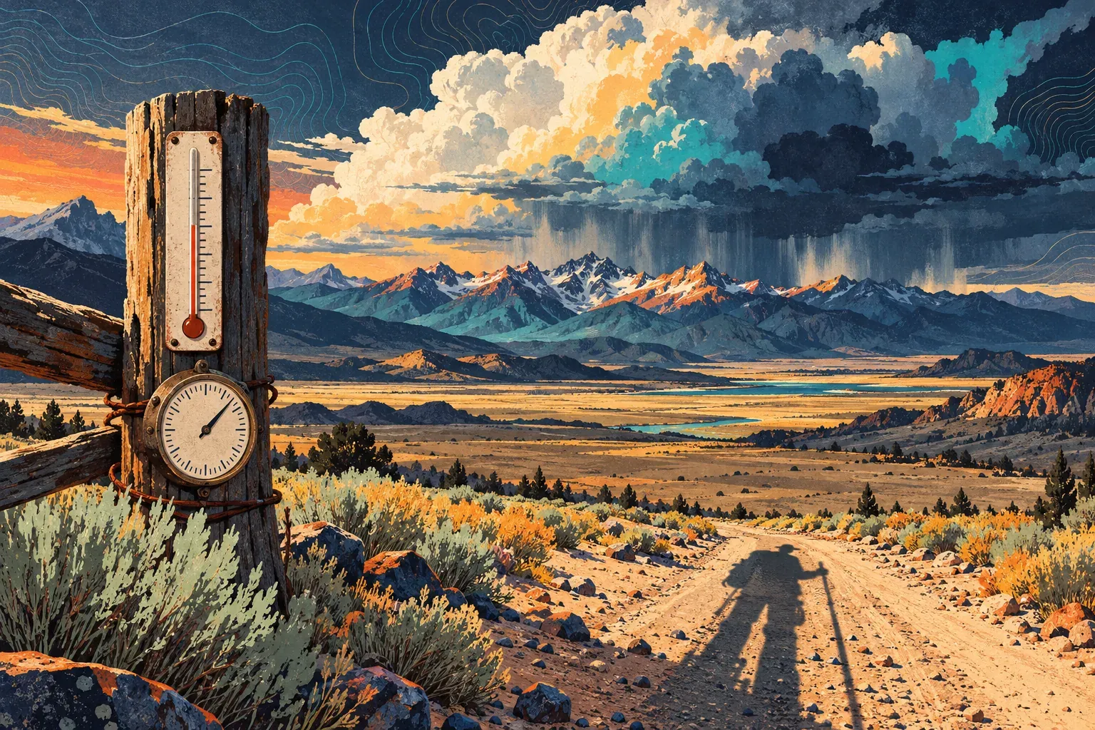
Nova’s office is in Santa Fe, at roughly 7,000 feet. Most June mornings here, the sky is so clear it seems to deny that weather exists. In a few weeks the monsoon will arrive, and by mid-afternoon that same sky will be stacked with thunderheads over the mountains, the light gone copper, the dry washes waiting.
We build itinerary software, and living here has made us suspicious of plans that look right on a map. Here is one we were shown this spring, written for a couple flying in from the coast for their first visit in July:
Every item was a good choice. Every time slot was plausible. And the day asked two people who had woken up at sea level to climb at altitude, in the hours when summer storms build, after a flight and a drive, before a late dinner where the wine would hit harder than they expected. Nothing in the plan was wrong except its context.
That is the word we keep coming back to. Context is whatever changes the value or the feasibility of an activity without changing the activity itself. The ridge is the same ridge at 8 AM and at 1:30 PM. It is not the same hike.
The high desert has taught us five kinds of context. None of them is unique to northern New Mexico. The place just makes them hard to ignore.
Visitors arriving from low elevations often feel the altitude in their first day or two: shortness of breath on stairs, a headache, poor sleep. Dry air dehydrates people faster than they notice. Alcohol tends to hit harder. We aren’t doctors, and an itinerary isn’t medical advice. But a plan can at least stop making things worse.
What we model now: acclimatization as a ramp, not a flag. For travelers arriving from low elevation, the first day’s energy budget is scaled to about 60% of normal and the second day’s to 80%, with a cap on elevation gain until day three. Strenuous hikes slide later in the trip. Water stops become scheduled items rather than afterthoughts. Dinner moves earlier on the first night. Travelers who mention heart or lung conditions get a plain note suggesting they check with their doctor, and the plan never assumes they have.
New Mexico’s summer monsoon, usually from early July into September, brings afternoon thunderstorms, and their lightning makes exposed ridges and open mesa tops dangerous places to be. Runoff can turn dry washes and narrow canyons into flash-flood channels, sometimes when it isn’t raining where you are standing.
The useful insight is that the monsoon is predictable as a pattern and uncertain in its specifics. You can’t know which afternoon a cell will form over which ridge. You can know that most July afternoons carry the risk.
What we model now: two layers. The pattern layer is structural. During monsoon months, activities tagged as exposed — summits, ridgelines, open mesa tops — get a soft deadline to finish by early afternoon, and activities in drainages are flagged for same-day checks. Each exposed afternoon slot is pre-paired with an indoor alternative: a museum, a studio visit, a long lunch. The specifics layer is live. Forecasts and alerts trigger re-planning when a real storm threatens a real slot. Seen this way, the storm isn’t a disruption; it’s a schedule. The disruption is only the particular cell on the particular day.
Before the rain comes the other half of the story. The weeks just ahead of the monsoon are among the driest of the year, and fire restrictions, sometimes full closures of forest land, can arrive with little notice. A route that worked last June may cross a forest that is closed this June. The season is predictable; the specific closure is not, which puts it firmly in the live layer, checked daily rather than assumed.
The scale fools people. Towns, villages, trailheads and viewpoints are spread across long distances, with stretches of road where fuel and phone signal are both scarce. An unpaved road that is fine in June can be impassable after a storm. A “quick side trip” that looks like a short hop on a screen can add an hour and a half to a day.
What we model now: travel times that account for road surface and weather, not just distance and speed limits. Service gaps — no fuel, no signal — are constraints the route must respect, not footnotes. For leisure trips we cap driving at roughly a third of a day’s waking hours unless the traveler opts into a road-trip day. And before a known stretch without coverage, the in-trip assistant sends the next few hours of the plan ahead of time, so the details are on the phone before the signal goes.
Painters and photographers have come to this region for generations because of the light, and they are right about it. The dry, clear air makes mornings and evenings luminous, and middays flat and harsh. Shade is scarce on the mesas, and the sun is strong at this elevation. The swing between a warm afternoon and a cold night is wide enough to catch out anyone who packed for only one of them.
What we model now: time-of-day value curves. A viewpoint is worth more in the hour before sunset than at noon. An adobe church photographs best in low, raking light. A museum is worth most at 1 PM, when the light outside is least interesting and the heat most tiring. The router doesn’t only ask “is it open?” but “when is it best?” — and any day that ends outdoors after dark carries a note about layers.
Northern New Mexico is home to Pueblo communities and long-established Hispano villages, each with its own calendar of feast days, ceremonies and community events. Some occasions welcome respectful visitors; on other days a community may be closed to the public entirely. Many communities restrict photography, sketching or recording. Each sets its own rules, and those rules can change at short notice. These places are homes first and destinations a distant second.
This is where software can do real harm. An itinerary that routes a visitor into a closed day, or frames a community as a “hidden gem,” fails in a way no re-plan can fix.
What we model now: community rules are hard constraints, never preferences to trade off against convenience. Calendar data comes only from a community’s own published notices, and when the information is uncertain, the system doesn’t route visitors there at all. Etiquette notes — photography rules, where visitors may and may not go — travel with the itinerary item instead of hiding on a general tips page. A person on the operator’s team reviews any itinerary that includes a community visit. Software should never be the reason someone walks into a ceremony with a camera raised.
Looking across them, each kind of context has an owner and a rhythm:
| Context | What visitors underestimate | How we model it | What a person still decides |
|---|---|---|---|
| Body (altitude) | How the first 48 hours feel | Energy-budget ramp; elevation-gain caps | Whether a traveler is fit for a given hike |
| Sky (monsoon) | How fast afternoons turn | Exposure deadlines; paired alternatives; live re-planning | Go or no-go on the day |
| Ground (distance) | Drive times and service gaps | Surface-aware travel times; driving caps; offline hand-off | Whether a road is safe after rain |
| Light | When a place is at its best | Time-of-day value curves; temperature notes | Creative choices for photographers and painters |
| Calendar | Whose rules apply | Hard constraints from community sources; human review | Anything involving a community visit |
The last column matters as much as the third. Context models make plans better; they don’t make them right. A guide’s read of the sky at 11:40 beats any forecast for that particular ridge, and a constraint-based router should be built to take that instruction gracefully, without an argument.
Back to the couple’s first day. Rewritten, it ran: land, drive, a late lunch, a short level walk at golden hour, an early dinner. The ridge moved to the morning of day three, with a 12:30 turnaround time and a museum afternoon held in reserve. It is a less impressive document. It is a much better day.
You don’t need a desert to have context. Before your next season, answer these for your own destination:
Write the answers into the rules your planning tools follow and into your guides’ briefings. For operators running outdoor and adventure trips, most of this already lives in the heads of your best guides. The job is getting it out of their heads and into the plan, while leaving them the final word.
Questions
New Mexico's summer monsoon generally brings afternoon and evening thunderstorms, most often in July and August. Mornings are frequently clear, which is why exposed hikes are best started early and finished by early afternoon. Always check the local forecast on the day.
Santa Fe sits at roughly 7,000 feet, and many visitors from lower elevations notice it in their first day or two. A gentler first day, plenty of water and saving strenuous hikes for later in the trip are common-sense adjustments. Anyone with health concerns should ask their doctor before traveling.
Keep reading
Travelers rarely complain about the wrong museum. They complain about the day that was one stop too long.
Every itinerary that falls apart on day two was already infeasible on day zero. Here is how to see the math hiding inside an ordinary trip plan.
Most disruptions announce themselves hours in advance. The operators who handle them well have already decided what they'll do.
Bring the problem this article describes to a 45-minute discovery call. We will tell you honestly whether AI is the right tool for it yet.